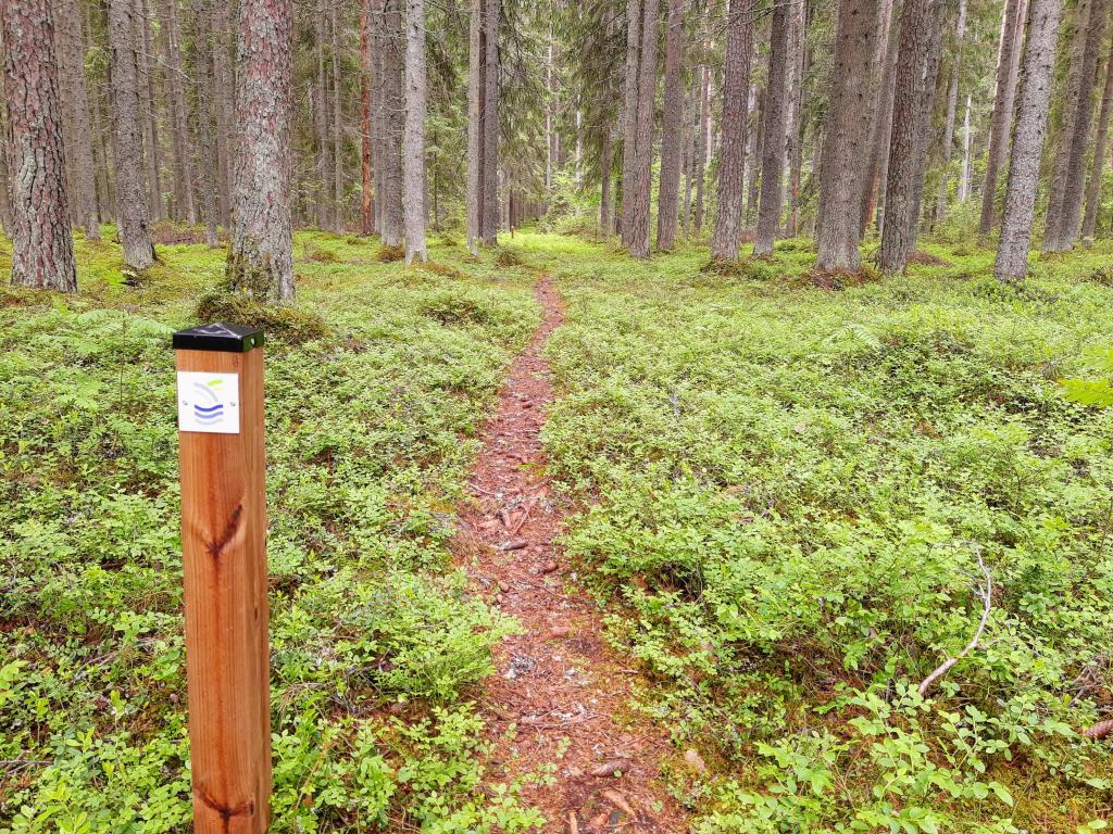
Pattoin luontopolku.
Saimaa Geopark -kohde Pattoin perintötalon ja Jukajärven rannalla sijaitsevan Aaronlaavun välisellä luonnonsuojelualueella kulkee noin kilometrin mittainen luontopolku.
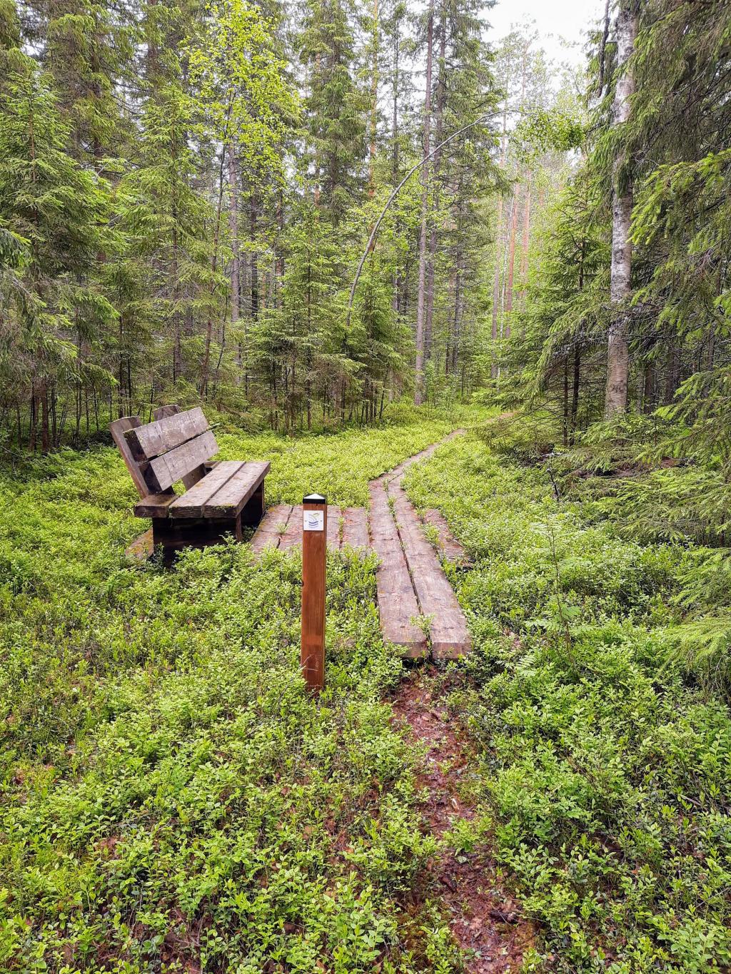
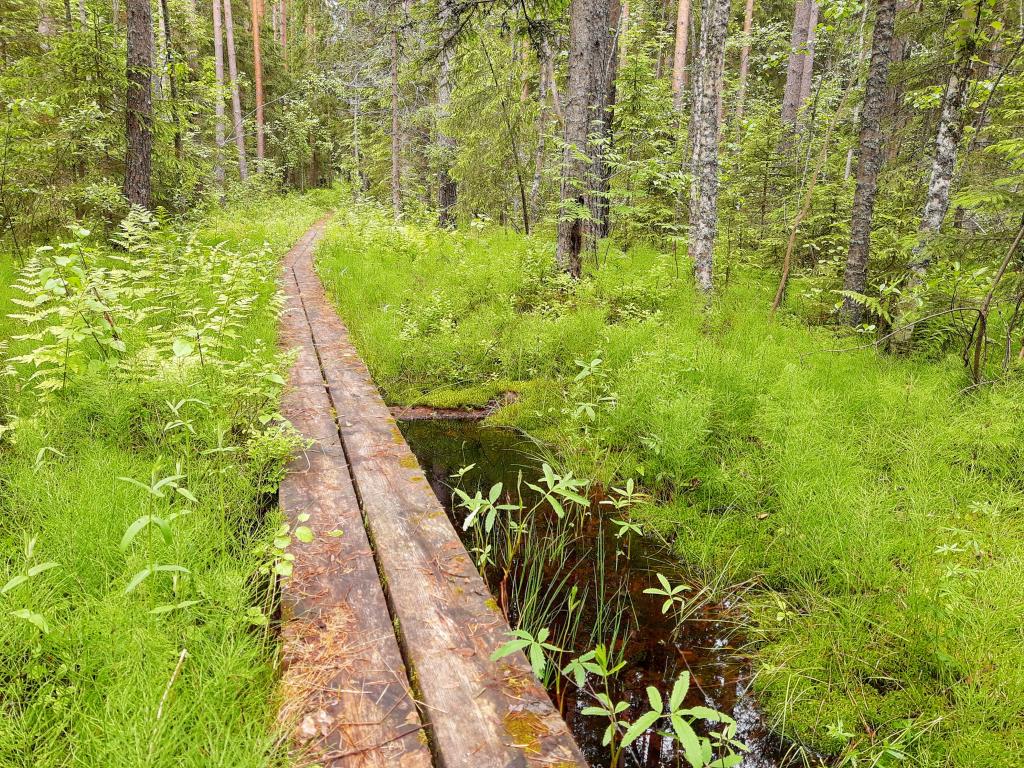
Luontopolku seuraa muinoin Pattoin perintötalon ohi Jukajärven rantaan ja siitä jään yli kohti Piikkilää johtanutta Pattoin talvitietä. Polun voi kulkea joko Pattoin perintötalon pihapiiristä Jukajärven rantaan tai päinvastoin. Luonnonsuojelualueella reitin puolivälissä on pitkospuut ja levähdyspaikka. Jukajärven rannassa sijaitsevalla laavulla on mukava paistaa vaikka makkarat tai tikkupullat. Toinen laavu sijaitsee Pattoin perintötalon kuusikon laidalla.
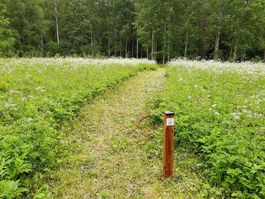
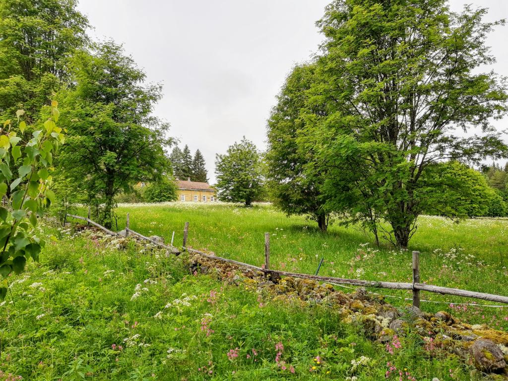
Matkan varrella kulkijalle avautuu näkymiä Pattoin tilan peltoniityille ja luonnonsuojelualueen luonnontilaiseen, komeaan kuusimetsään soineen ja jättisuurine muurahaiskekoineen. Metsän rauhassa voi kuunnella linnunlaulua ja tuulen suhinaa jyhkeiden ikikuusien oksistossa ja ihmetellä karjasiltaa - miten voi olla, että lampaat eivät karkaa siltaa pitkin metsään?
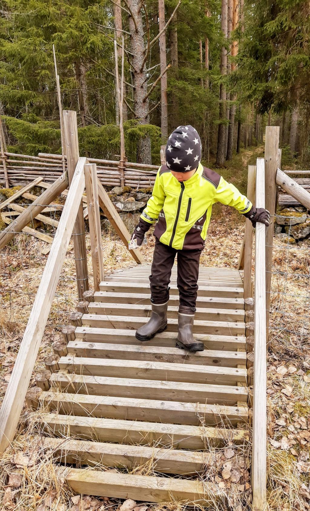
Pattoin talvitien luontopolku on helppokulkuinen ja sopii hyvin perheille. Polku on merkitty maastoon Saimaa Geopark -logopaaluin.
Pattoin luontopolun kartta.
Interaktiivisen kartan käyttövinkkejä:
- karttatyökalut löydät vasemman yläkulman ylimmästä valikosta: voit siirtyä edelliseen tai seuraavaan näkymään ja mitata matkaa tai pinta-alaa.
- karttatasoja voit selata vasemman yläkulman alemmasta valikosta. Karttapohjaksi voit valita maastokartan, suunnistuskartan tai taustakartan.
- hakutoiminnolla voit etsiä paikannimellä kohteita laajemmaltakin alueelta.
- kartan oikeanpuoleisen reunan työkaluilla voit mm. palata kartan alkunäkymään, säätää kartan kokoa, keskittää kartan omaan sijaintiin ja selvittää kohteen koordinaatit.
Oma sijainti kartalla:
- Oman sijaintisi saat kartalle näkyviin käyttämällä toimintoa "Keskitä kartta omaan sijaintiisi". Toiminnon kuvakkeessa on mustalla pohjalla vaaleanharmaa sijaintiympyrä & ilmansuuntaviivat.
- Kuvaketta klikkaamalla sijainnin seuranta aktivoituu. Uusi klikkaus sulkee seurannan ja poistaa sijainnin kartalta.
- Sijainti tulee näkyviin kartalle sinisenä pisteenä; sijainnin tarkkuutta kuvaa isompi vaaleamman sininen ympyrä.
- Sijainti päivittyy kartalla aina kun mobiililaitteen sijaintitieto on päivittynyt. Jos sijaintisi on karttanäkymän ulkopuolella, näkymä keskittyy kartan alkuperäiseen keskipisteeseen.
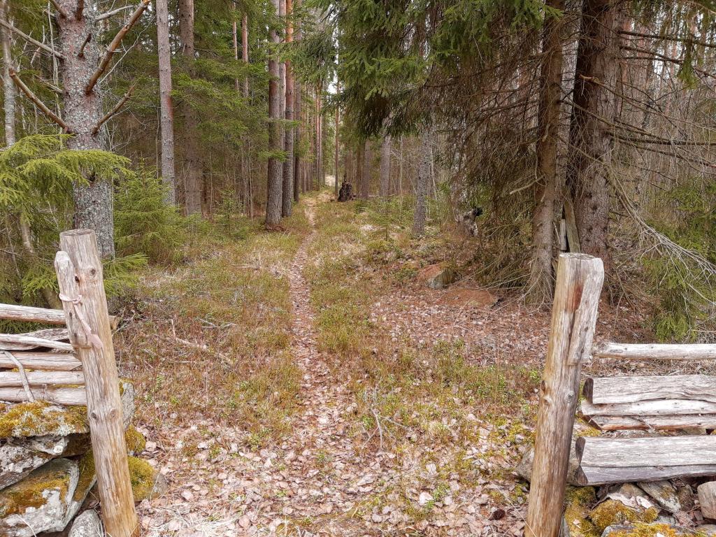
Kuvia Pattoin luontopolulta.